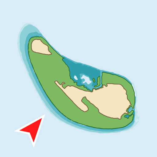
 KanduMap
For every atoll in the Maldives
A free chart for Maldivian waters.
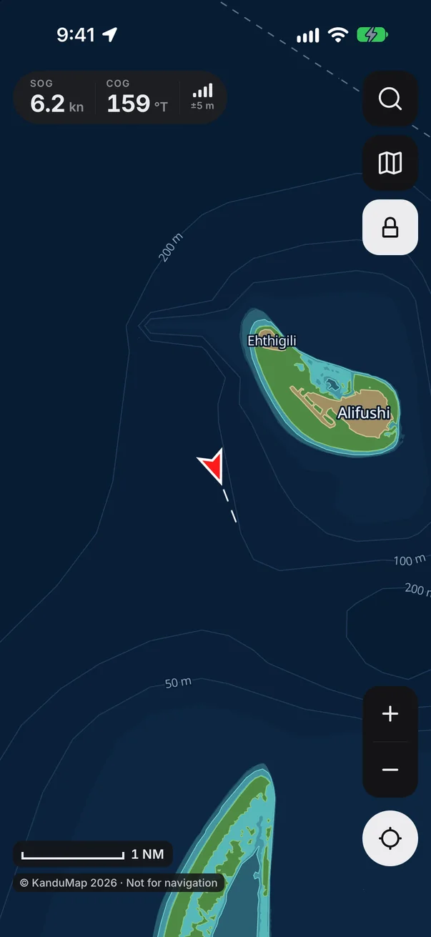
KanduMap shows your speed and course on a chart drawn from satellite images, and plans routes that keep clear of charted reefs. It works with no data connection, needs no account, and costs nothing.


Free on iPhone and Android. Not an official chart: keep a lookout.
Why it was built
Every skipper should be able to see the reef ahead.
No open nautical chart covers the Maldives. Fishermen, ferry crews, dive boats and guesthouse skippers find their way by years of local knowledge, or pay yearly subscriptions for marine apps whose charts show little of the reefs between our islands.
KanduMap draws its own chart for every atoll and gives it away. A phone that can show where you are should also show the reef in front of you, roughly how deep the water is over it, and a way home that keeps clear of it.
The islands change too. Reclaimed land such as Ras Malé grows by hundreds of hectares in a year, and sandbanks come and go. KanduMap reads its islands from the newest clear satellite images, so the chart keeps up.
It is built for the boats that work these waters every day: dhonis, launches and speedboats, at sea and out of signal.
What it does
Chart, instruments and routes in one app.
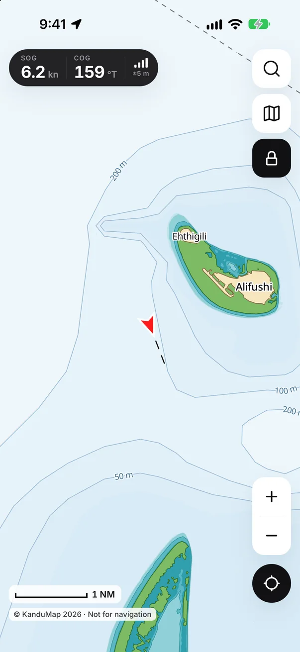
A chart drawn from satellite
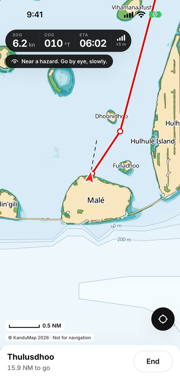
Islands as they stand now, reef flats that can dry, and depth bands to about 18 m, with ocean depths beyond. Light by day, dark at night.
Routes around the reefs
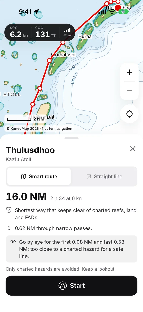
Pick any island or point and get the shortest way there that keeps about 165 m from every charted reef, island and FAD, closer only in narrow passes, with its distance and time. Worked out on the phone, with no signal.
Every island and FAD
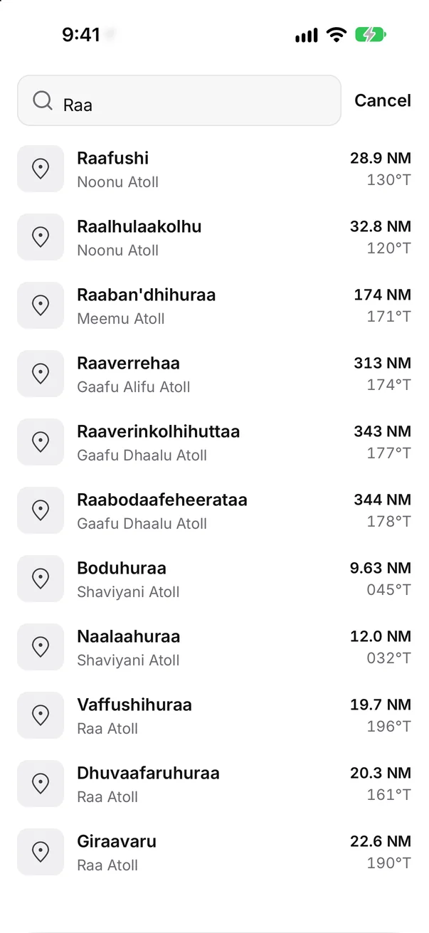
Search over 1,000 islands by their official names or the spellings people use, plus the Ministry of Fisheries' list of FADs, shown as buoys on the chart.
- Speed and course over ground, with GPS accuracy, in a small strip that leaves the chart clear.
- Course up or north up, and a screen lock for a wet, bouncing boat.
- Measure distance and bearing between any two points.
- A warning when the GPS fix is lost, so old numbers never pass for new ones.
- The whole country is inside the app: no downloads at sea, no data plan.
- Large text and screen readers supported throughout.
How it was built
Measured from space, checked against lasers.
There was no chart to copy, so KanduMap made one from open data and measured how good it is.
-
Satellite images
Hundreds of Copernicus Sentinel-2 images from 2017 to 2026 are combined into a clear picture of every atoll, in 40 areas covering the whole country. The colour of the water over sand and coral shows how deep it is.
-
Laser depths
NASA's ICESat-2 satellite measures the seabed with a laser along its tracks. 789,380 of those depths teach the colour-to-depth model. Tested on each of 22 atolls with that atoll left out of training, its root-mean-square error was 0.35 m in water under 2 m deep, 0.54 m at 2 to 5 m and 1.1 m at 5 to 10 m; nine depths in ten were within 0.27 m, 0.74 m and 1.6 m.
-
Islands as they are now
Land is read from the newest clear images of the last two years, so new harbours and reclamation appear within weeks. Clouds and sun glint are filtered out, and every change is checked against the reef around it.
-
Official names
Island names and positions come from OneMap, the national map of the Geomatics Department, with atolls and inhabited islands from the government island register. Lines between the 20 administrative atolls run midway between their islands.
-
Routes on the phone
Every charted hazard, with a safety margin, becomes a network of reef corners and the clear straight lines between them. The phone searches that network for the shortest safe way, in a moment and with no connection.
-
Ocean depths and FADs
Outside the atolls, depths come from the GEBCO world ocean grid. FAD positions come from the Ministry of Fisheries and Ocean Resources, with buoys that have broken loose shown as such.
Free for everyone
No subscription. Not now, not later.
Marine chart apps typically cost a yearly subscription, and a chart plotter costs far more. KanduMap is free, with every atoll and every feature included, for every boat.
Not an official chart. KanduMap has no surveyed depths. Reefs can be missing or in the wrong place, and clear water on the chart does not mean safe water. Smart routes only avoid hazards the chart shows. Keep a lookout, and use official charts and local knowledge.
Take KanduMap to sea.
Free for iPhone and Android. Install it while you have signal; after that it needs none.